The Future of Aerial Intelligence Today
Bridging the gap between traditional aviation operations and modern data gathering & analytics.

Pinpointing potential
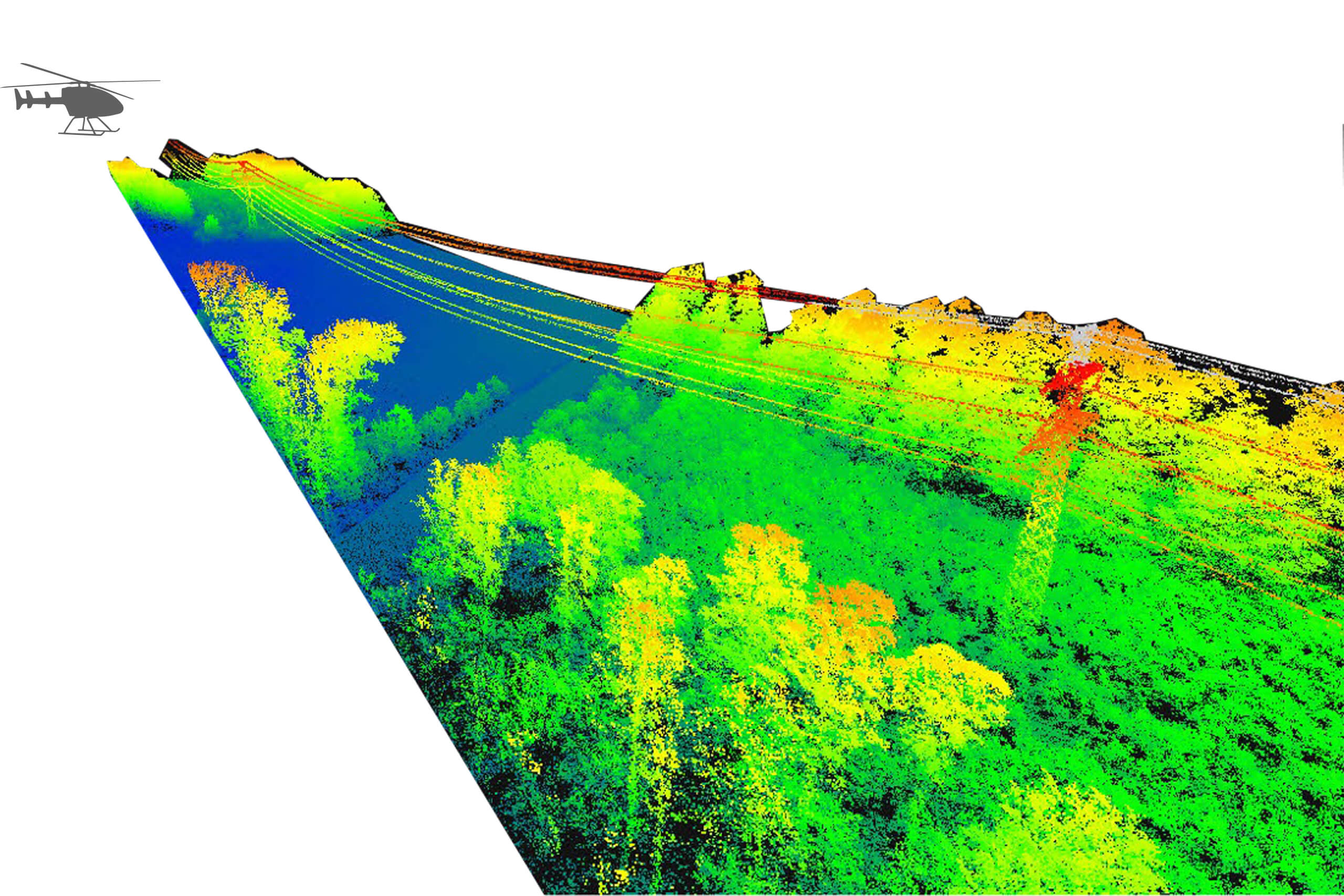
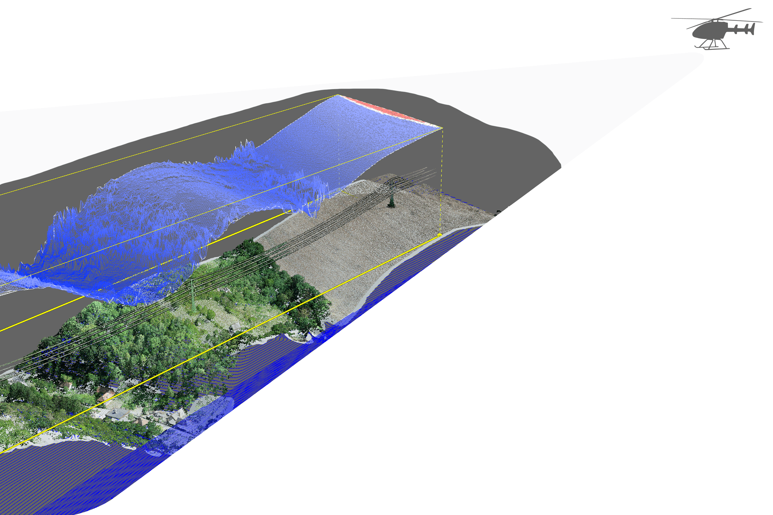
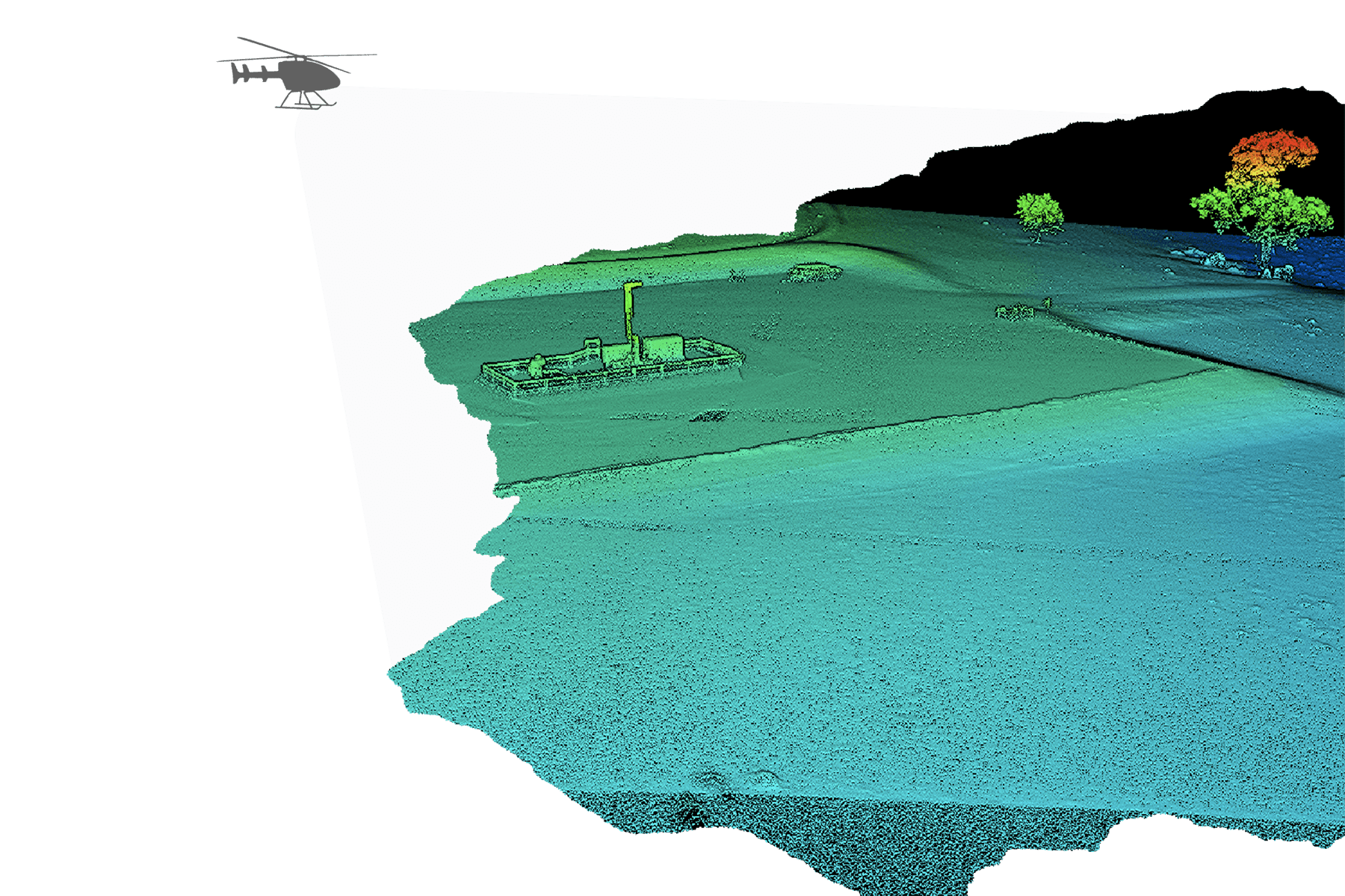
Projects delivered through Xplorate intelligence
Intelligence Solutions
What do we do? Globally there are >12,000,000 km of pipelines and powerlines, >1,600,000 km of railways, >240,000 km of land borders and >2,000,000 SqKm of reforestation areas.
All must be continuously monitored, inspected and surveyed – for business, public safety and environmental reasons.
Xplorate has reinvented how this has achieved with our focus being on supporting major corporations and government agencies in making these tasks exponentially more efficient, value-adding and sustainable through our revolutionary aerial intelligence solution.


Intelligence Technologies
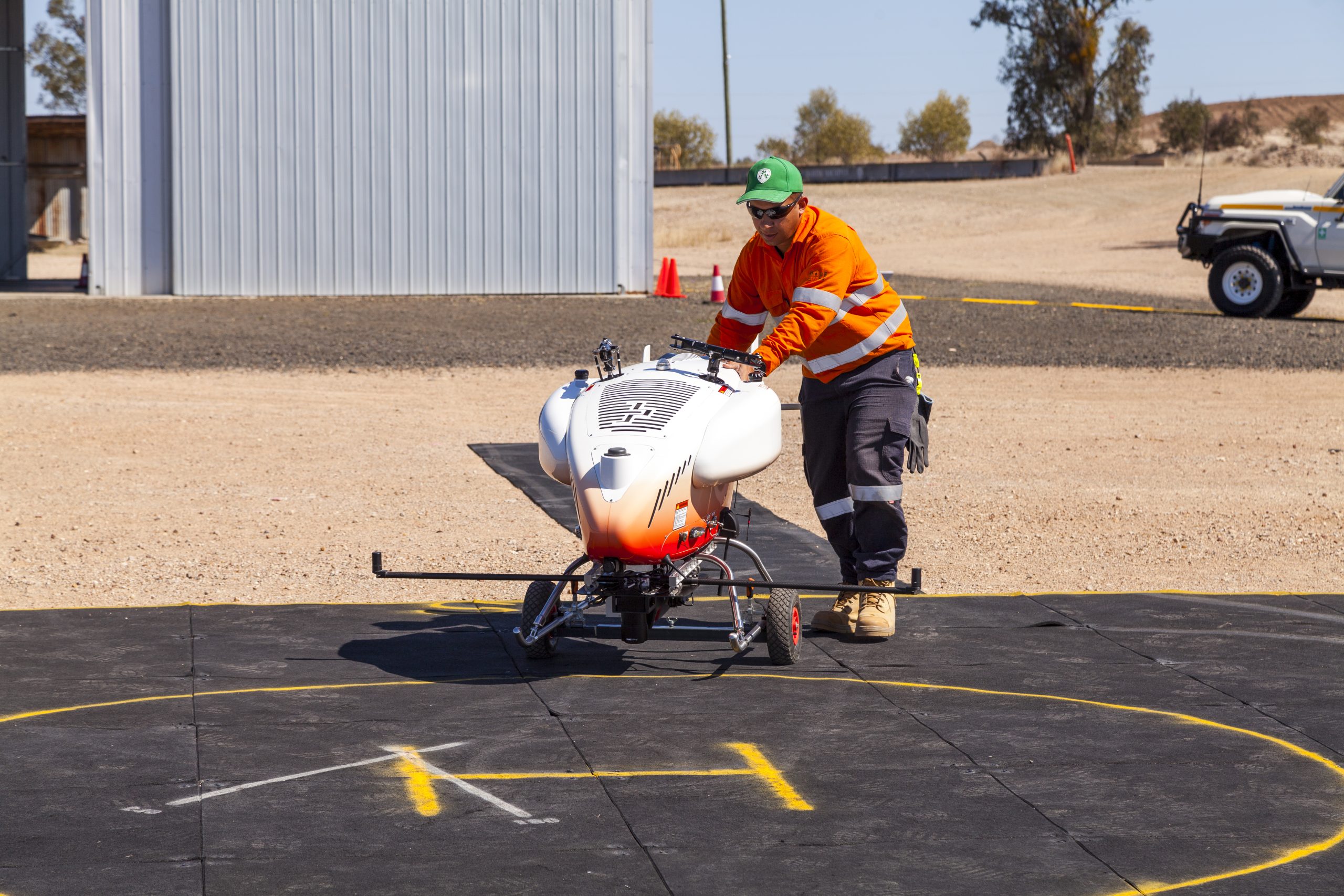
Xplorate specialises in the operation of Remotely Piloted Aircraft Systems (RPAS) and sensors, designed to conduct Beyond Visual Line of Sight (BVLOS) operations.


Intelligence Services
Xplorate provides a comprehensive suite of intelligence services designed to empower businesses with actionable insights and data-driven decision-making. Our advanced technologies, coupled with deep industry expertise, enable us to deliver tailored services that meet the specific needs of various sectors, ensuring safety, compliance, and efficiency.


End-to-end data intelligence solutions delivered smarter, safer and greener.
About Xplorate
Xplorate is a Remotely Piloted Aircraft Systems (RPAS) and Data Intelligence company offering critical services to key industries including infrastructure inspections, aerial surveillance, greenhouse gas (GHG) & methane quantification, and search and rescue. We’re a single source for all aerial intelligence and data activities.
